This
page contains the diagrams of the different grids used on the
Western and Central European territories, in relation with the "Modified
British System" of coordinates.
The
index map below gives the assembly of the different map projections
used. From it, you can obtain the informations relating to the corresponding
grids and to the identification of the squares.
|
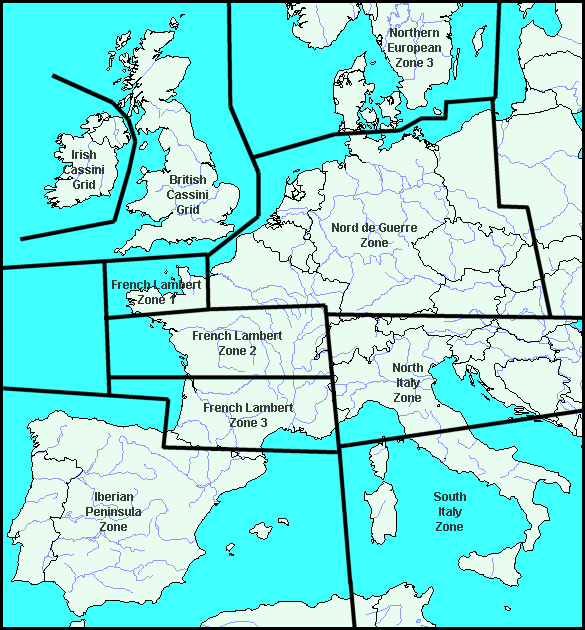
British Cassini Grid
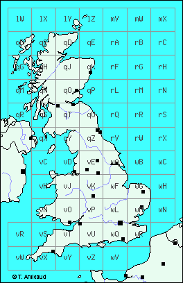
Grid used over the
British territory :
"British
Cassini Grid"
Irish
Cassini Grid
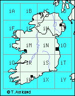
Grid used over the
Irish territory :
"Irish Cassini
Grid"
Northern European Zone 3
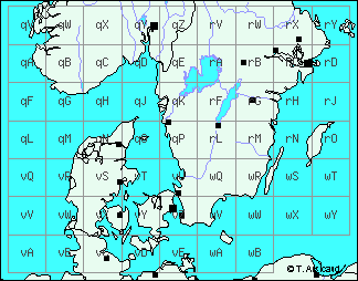
Grid used over the
Norwegian, Swedish and Danish territories :
"Northern
European Zone 3"
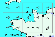
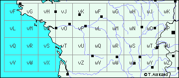
Nord de Guerre Zone
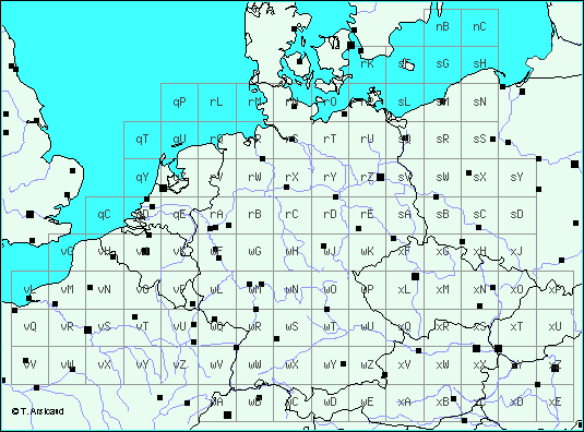
Grid used over the
French, Belgian, Dutch, Luxembourg, German, Danish,
Polish, Austrian, Czech, Slovak and Swiss territories :
"Nord de Guerre
Zone".
French Lambert Zone 1
Grid used over the
North-western part of France :
"French
Lambert Zone 1"
French
Lambert Zone 2
Grid used over the
central part of France :
"French
Lambert Zone 2"
French Lambert Zone 3
Grid used over the
southern part of France :
"French
Lambert Zone 3"
North Italy Zone
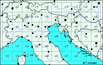
Grid used over the
Italian, French, Swiss, Austrian, Hungarian,
Slovenian, Croatian and Bosnian territories :
"North Italy
Zone"
South Italy Zone
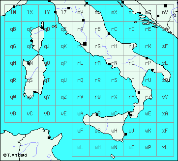
Grid used over the
Italian, French and Croatian territories :
"South Italy
Zone"
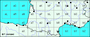
Iberian Peninsula Zone
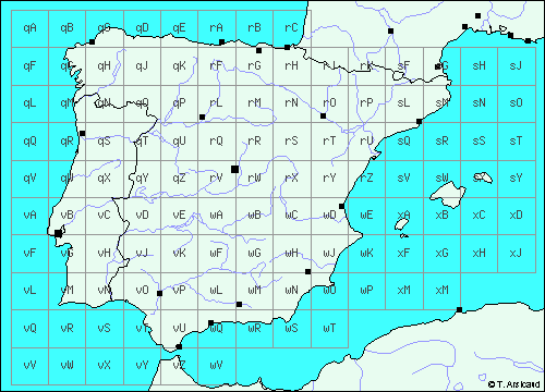
Grid used over the
Spanish and Portuguese territories :
"Iberian
Peninsula Zone"
Home | Overview of the "Modified British
System" | The grids used on the European
Theatre of Operations| The "coordinates
translator" | Message Board
| Links | Contacts
|